

Lady's Island, SC Homes for Sale
Get these homes and new BAH-range listings by text or email
New homes that fit your search, sent to your email.
Lady's Island sits across the Beaufort River from downtown Beaufort and connects to it by two bridges. Listings use a Beaufort, SC 29907 address. Realtor.com put September 2026's median list price at $549,900 and median sold price at $490,000. MCAS Beaufort's main gate is roughly 8 to 11 miles away, depending on where you start.
 Hamza Faris, Marine veteran
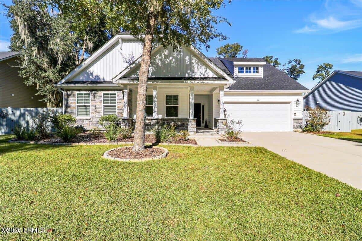
$598,000
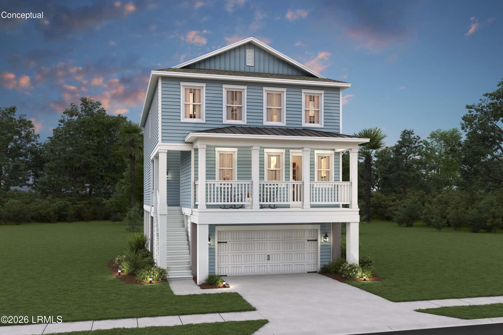
$734,900
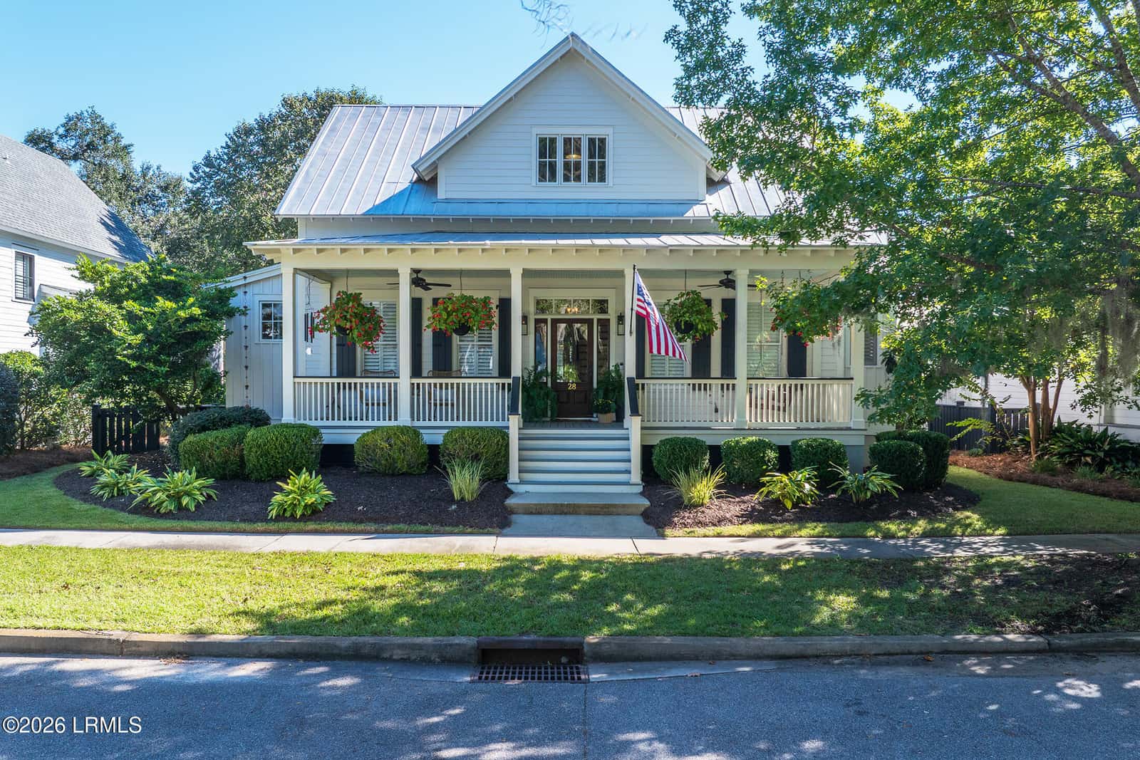
$1,050,000
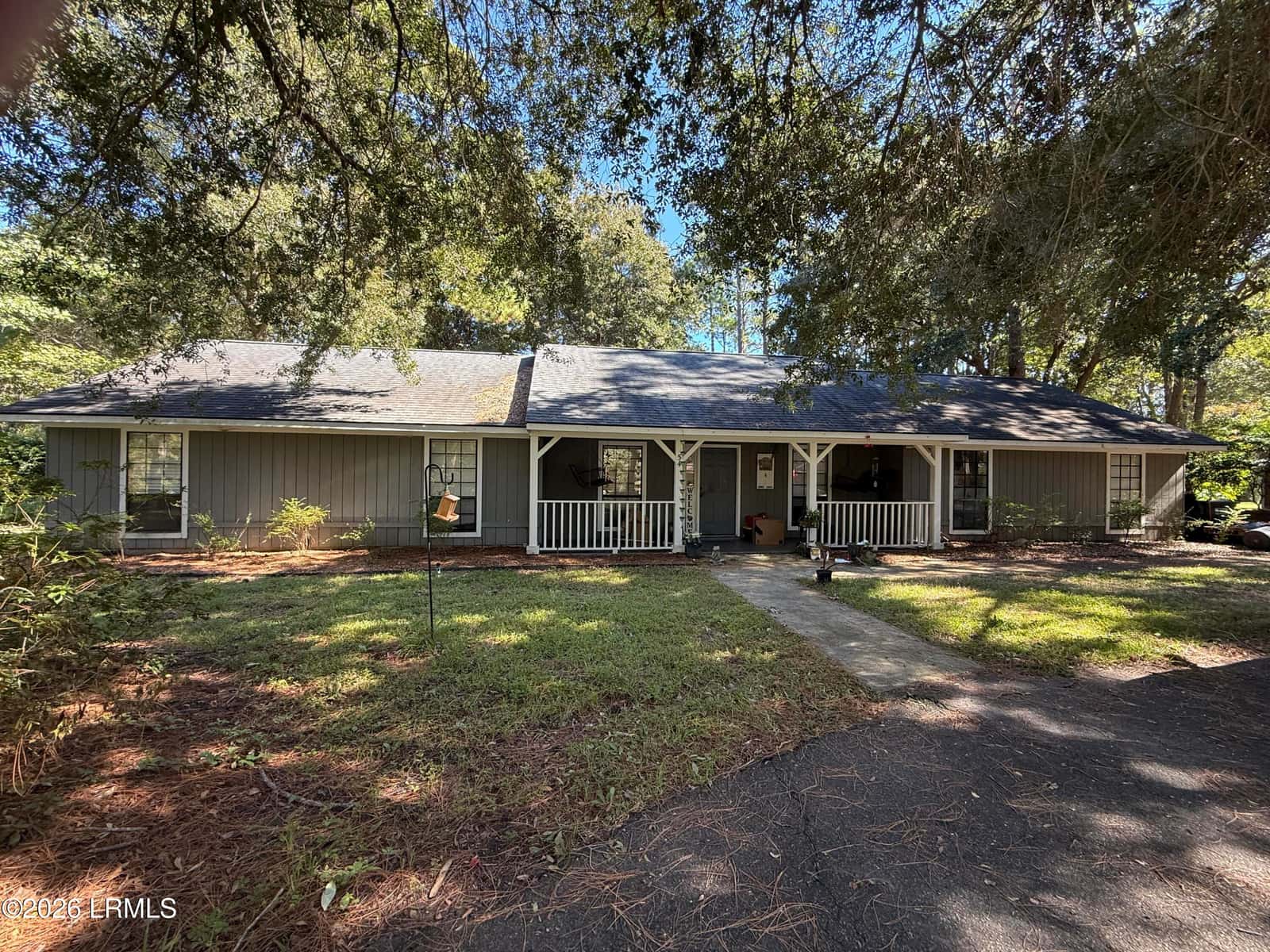
$375,000
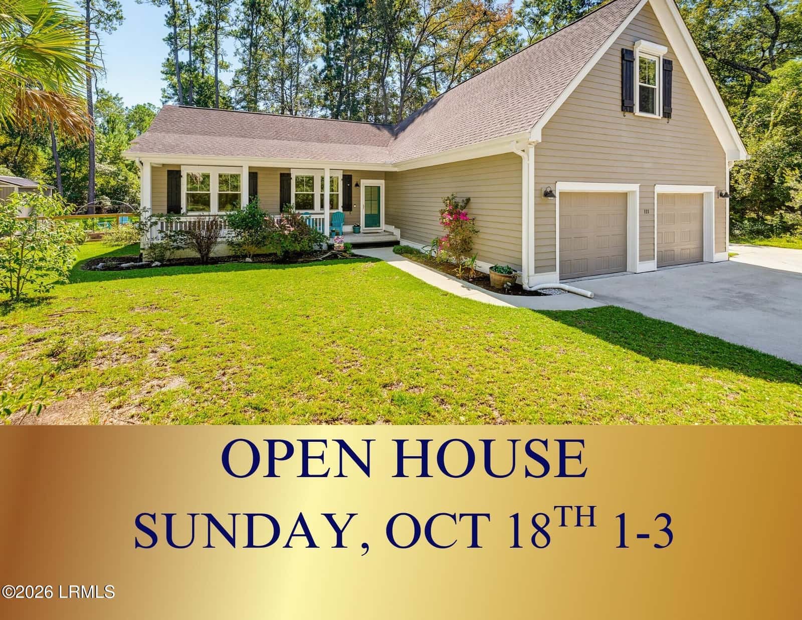
$574,900
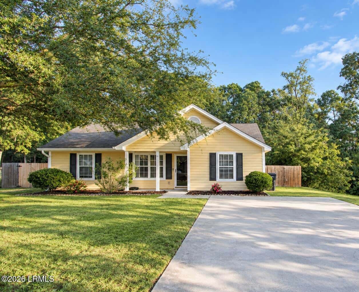
$329,000
On orders to MCAS, Parris Island or the Naval Hospital? See the PCS page
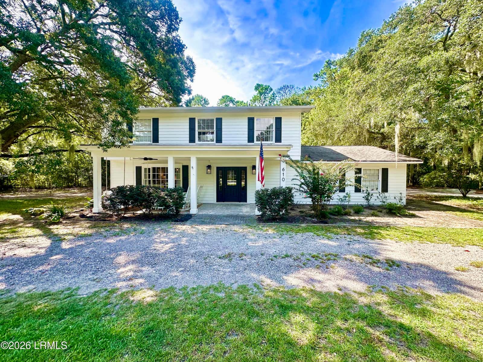
$634,900
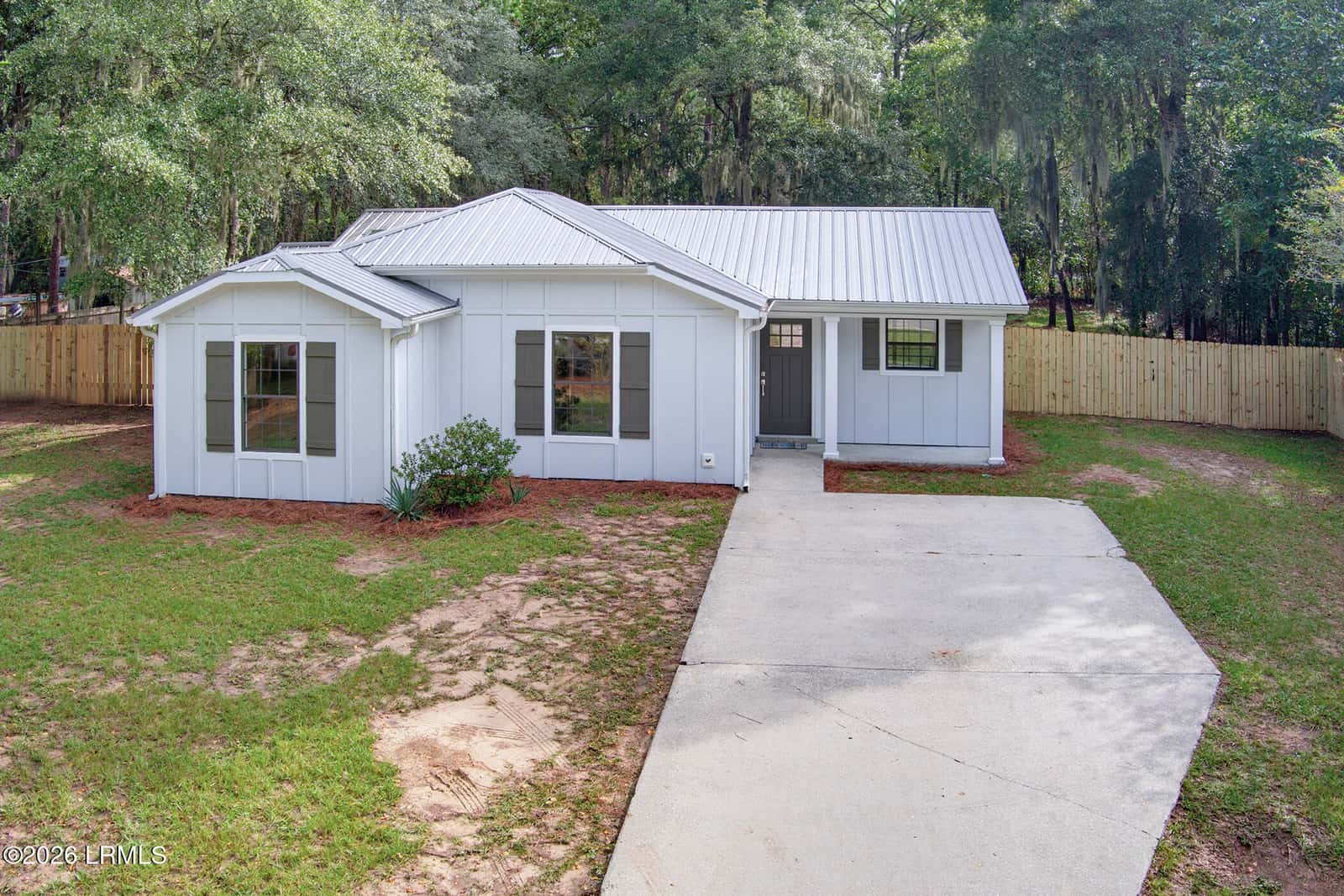
$319,000
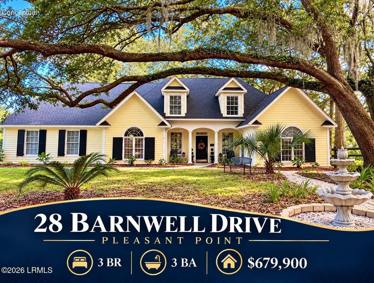
$679,900
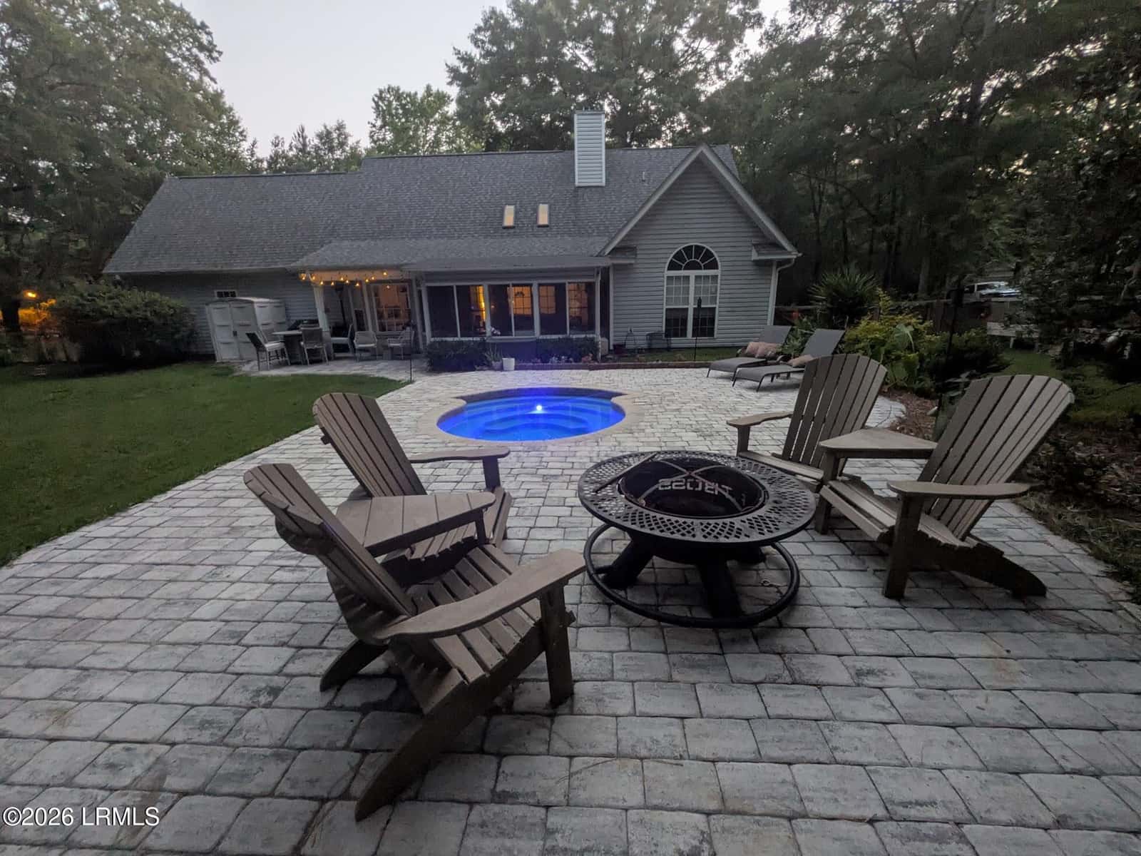
$549,000
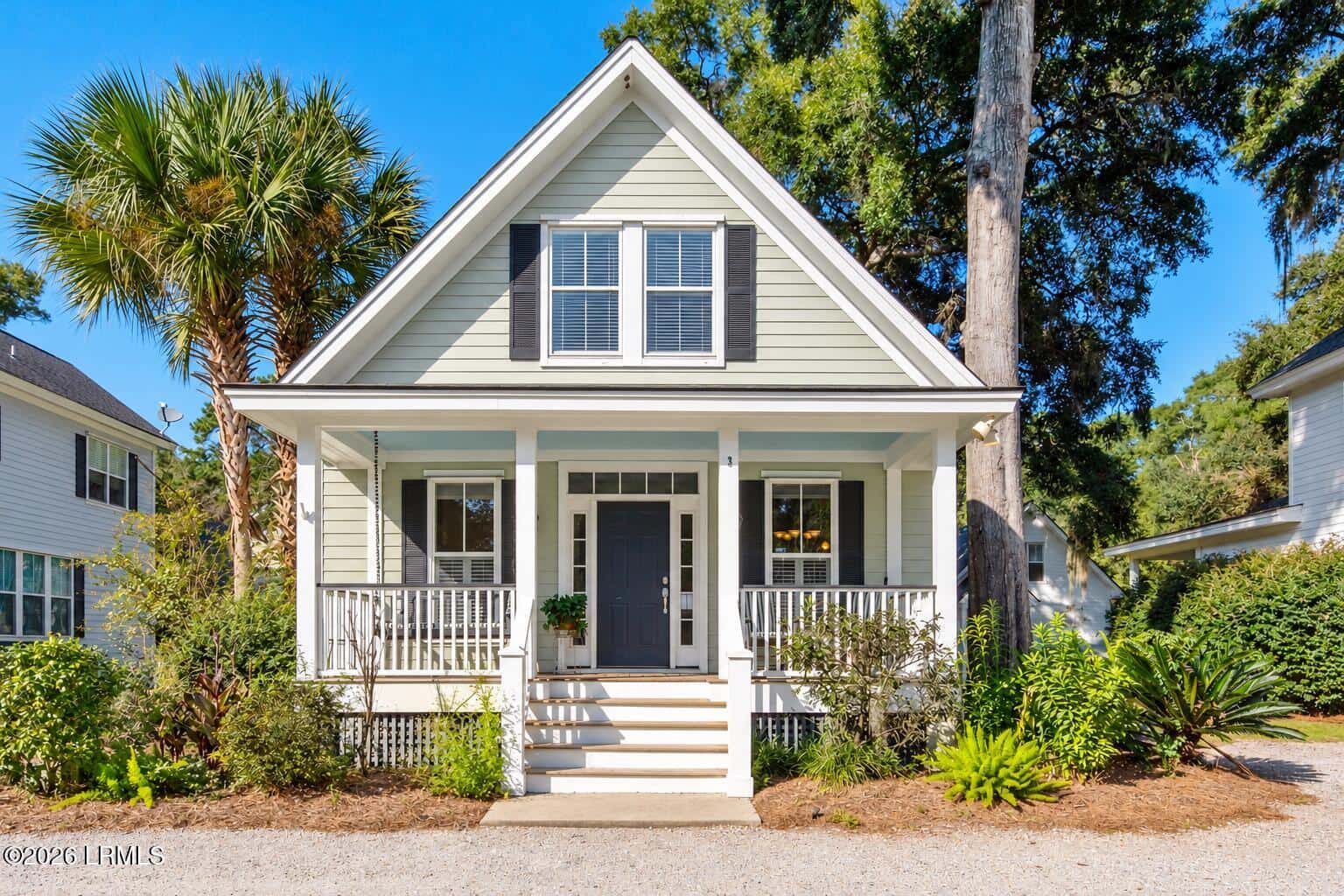
$435,000
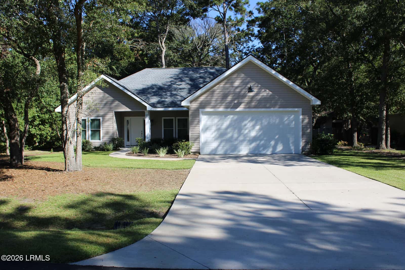
$499,000
Listing data provided by the Lowcountry Regional MLS. Information is deemed reliable but is not guaranteed accurate by the MLS. All measurements are approximate. This data is provided for consumers' personal, non-commercial use and may not be used for any purpose other than to identify prospective properties consumers may be interested in purchasing.
Coming to Beaufort on orders? Get homes near your base, VA payment math and a PCS-to-closing timeline.
Median of active residential list prices (1+ bedroom), not a closed-sale median. Source: Lowcountry Regional MLS, updated Oct 28, 2026, 4:34 PM ET.
Median closed price $515,000 across 210 residential sales (1+ bedroom), close dates Apr 28, 2026–Oct 28, 2026. Source: Lowcountry Regional MLS.
Federal rules set the Woods Bridge's openings (33 CFR 117.911(e), eCFR, read Oct 10, 2026). On weekdays, except federal holidays, it doesn't have to open for boats from 6:00 to 9:29 a.m. or from 3:31 to 7:00 p.m. On weekdays from 9:30 a.m. to 3:30 p.m. it opens once an hour, on the half hour. At all other times, including weekends, it opens on signal.
Market Snapshot
What's on the market in Lady's Island
Median $276/sqft·151 active listings sampled
- Two bridges: Woods Memorial and McTeer
- County landings at Sams Point and White Hall
- Lady's Island Elementary/Middle zones (verify)
- 7.6–10.7 mi to the MCAS gate
Where is Lady's Island, and how do you get on and off it?
Lady's Island is the first sea island east of downtown Beaufort, across the Beaufort River. It isn't its own town, and it isn't its own Census place. Addresses fall under either Beaufort County or the City of Beaufort, depending on the parcel. Most listings show Beaufort, SC 29907.
Two bridges carry you to the mainland side:
- The Richard V. Woods Memorial Bridge on Sea Island Parkway lands on Carteret Street downtown. It's a drawbridge.
- The McTeer Bridge on Lady's Island Drive lands on Ribaut Road near Port Royal.
Federal rules set the Woods Bridge's openings (33 CFR 117.911(e), eCFR, read Oct 10, 2026):
- Weekdays, except federal holidays: it doesn't have to open for boats from 6:00 to 9:29 a.m. or from 3:31 to 7:00 p.m.
- Weekdays, 9:30 a.m.–3:30 p.m.: it opens once an hour, on the half hour.
- All other times, including weekends: it opens on signal.
The live status banner on this page shows whether it's open to traffic right now.
How long is the drive from Lady's Island to MCAS Beaufort and Parris Island?
Swipe the table sideways to see every column.
| From | To MCAS Beaufort main gate | To Parris Island front gate |
|---|---|---|
| Sea Island Pkwy at Sams Point Rd (OSM node 109945884) | 7.6 mi, 10–13 min, via Woods Bridge | 6.8 mi, 10–12 min, via McTeer Bridge, Ribaut Rd and the Russell Bell Bridge |
| North side of the island (OSM place node 357123699) | 10.7 mi, 17–20 min | 10.0 mi, 17–19 min |
The MCAS route crosses the Woods Bridge. During the 9:30–3:30 weekday window a half-hour opening can add minutes we didn't model. The Parris Island route uses the McTeer Bridge and doesn't touch the drawbridge.
Routes run Oct 10, 2026 with two open-source routing engines on OpenStreetMap data: OSRM (project-osrm.org, driving profile) and Valhalla (valhalla.github.io/valhalla, auto costing). Times are free-flow estimates. They do not include traffic, school-zone slowdowns, bridge openings or the wait at the gate. Where the engines differ, we show the range. Map data © OpenStreetMap contributors. Destinations: MCAS Beaufort is the Visitor's Center by the main gate, 859 Geiger Blvd, Building 2077 (Military OneSource check-in page, read Oct 10, 2026), routed to OSM way 155257876 (32.459942, -80.721064). MCRD Parris Island is the depot's front gate on the approach road off SC-802, routed to OSM node 3499832875 (32.3605805, -80.7122621), the point on Malecon Drive where the public road ends and depot property begins. MCRD's visitor page gives directions to the front gate but no street address for it. Military OneSource lists the installation address as 521 Blvd de France, Building 283, which is inside the gate, so we did not route there.
What do homes on Lady's Island cost?
Right now there are 151 active homes for sale on Lady's Island with at least one bedroom. Half are listed between $469,990 and $999,000. The median list price is $640,000. Source: Lowcountry Regional MLS, active residential listings, updated Oct 28, 2026, 4:34 PM ET.
Active list prices, residential, Lowcountry Regional MLS, updated Oct 28, 2026, 4:34 PM ET.
Median closed price $515,000 across 210 residential sales (1+ bedroom), close dates Apr 28, 2026–Oct 28, 2026. Source: Lowcountry Regional MLS.
Swipe the table sideways to see every column.
| Measure | Figure | Source |
|---|---|---|
| Median list price | $549,900 (−12.9% YoY) | Realtor.com, Sept 2026 data, read Oct 10, 2026 |
| Median sold price | $490,000 (−12.9% YoY) | Realtor.com, Sept 2026 (also cited in our sold-price comparison) |
| Median price per sq ft | $268 | Realtor.com, Sept 2026 |
| Median days on market | 88 | Realtor.com, Sept 2026 |
Zillow doesn't publish a home value index for Lady's Island, and Redfin's page was unreachable when we checked (Oct 10, 2026), so Realtor.com is the only dated source here. For property tax, the Lady's Island district levies 138.5 mills on a 4% legal-residence assessment (Beaufort County Auditor, tax year 2026, as cited on our Parris Island page). Prices run wide because the island mixes inland subdivisions with marsh-front and deep-water lots. Subdivisions on the Oct 10 listing grid included Coosaw Point, Distant Island, Pleasant Point, Newpoint and Telfair.
Which schools serve Lady's Island?
BCSD's attendance-zone maps put Lady's Island ZIP 29907 in these zones:
- Elementary: Lady's Island Elementary or Coosa Elementary. A small edge touches St. Helena Elementary.
- Middle: Lady's Island Middle.
- High: Beaufort High.
Lady's Island has no Census boundary, so we overlaid BCSD's maps on ZIP 29907 (Census ZCTA) on Oct 10, 2026. That ZIP also covers some nearby islands. School zones follow the address, not the neighborhood name. Check your exact address with BCSD's attendance-zone map or call the district office at (843) 322-2300 before you buy.
Is Lady's Island in a flood zone?
It's an island ringed by marsh and tidal creeks, so many parcels need a careful look, but the answer still goes address by address. Elevation changes a lot across short distances here.
- Put the address into FEMA's Flood Map Service Center. It shows the zone on the effective map. Beaufort County's maps took effect March 23, 2021 (FEMA Community Information System data dated Aug 13, 2026, as cited in our Oct 9, 2026 flood guide).
- Check the same parcel on Beaufort County's public GIS mapping app for flood layers and parcel lines.
- Ask the seller for an elevation certificate, or ask the county for one on file. Questions go to the county floodplain manager at (843) 255-2065 (county flood-maps page, read Oct 10, 2026).
- Get a flood insurance quote before your option period ends. Premiums are priced per building under Risk Rating 2.0, so a neighbor's bill doesn't tell you yours. Full walkthrough: flood zones and flood insurance.
Lady's Island isn't its own flood-insurance community. FEMA's community list has no entry for it, so an address takes the rating class of Beaufort County (Class 5, 25% discount) or the City of Beaufort (Class 6, 20%), whichever the parcel falls in (FEMA CIS data dated Aug 13, 2026, in our flood guide).
Where can I launch a boat on Lady's Island?
Beaufort County runs two landings on the island (county boat landings list, read Oct 10, 2026):
- Sams Point Boat Landing, 1009 Sams Point Rd, on Lucy Point Creek
- White Hall Boat Landing, 33 Sea Island Pkwy, on Factory Creek
For a private dock, filter for deep-water access and have the dock and permit status checked during your option period.
What's near Lady's Island?
Downtown Beaufort is across the Woods Bridge. For base logistics, read homes near MCAS Beaufort.
Military? See what your BAH covers on our PCS page.
Lady's Island real estate FAQ
Is Lady's Island part of the City of Beaufort?
Partly. Lady's Island isn't its own town. Some parcels are inside the City of Beaufort and the rest are unincorporated Beaufort County. Most homes use a Beaufort, SC 29907 mailing address. The county's GIS map shows which jurisdiction a parcel is in.
How many bridges connect Lady's Island to Beaufort?
Two. The Richard V. Woods Memorial Bridge on Sea Island Parkway lands downtown, and the McTeer Bridge on Lady's Island Drive lands on Ribaut Road. The Woods Bridge is a drawbridge. The McTeer route doesn't depend on its openings.
When does the Woods Memorial Bridge open?
Under 33 CFR 117.911(e), on weekdays except federal holidays it doesn't open for boats from 6:00 to 9:29 a.m. or from 3:31 to 7:00 p.m. From 9:30 a.m. to 3:30 p.m. it opens once an hour on the half hour. At all other times it opens on signal.
How long is the drive from Lady's Island to MCAS Beaufort?
About 10–13 minutes (7.6 miles) from Sea Island Parkway at Sams Point Road, and 17–20 minutes from the north end of the island, without traffic. These are OSRM and Valhalla routing estimates to 859 Geiger Blvd, run Oct 10, 2026.
How long is the drive from Lady's Island to Parris Island?
About 10–12 minutes (6.8 miles) from Sea Island Parkway at Sams Point Road to the depot's front gate off SC-802, via the McTeer Bridge and Ribaut Road. These are routing estimates without traffic, run Oct 10, 2026.
What is the median home price on Lady's Island?
Realtor.com put Lady's Island's September 2026 median list price at $549,900 and median sold price at $490,000, both down about 13% from a year earlier. The live listings on this page show today's asking prices.
What schools serve Lady's Island?
BCSD's zone maps put Lady's Island in the Lady's Island Elementary or Coosa Elementary zones, Lady's Island Middle and Beaufort High. Zones follow the exact address, so confirm with BCSD at (843) 322-2300 before you buy.
Is Lady's Island in a flood zone?
Some parcels are in FEMA high-risk zones and some aren't, and elevation varies over short distances. Search the address on FEMA's Flood Map Service Center, check Beaufort County's GIS map, and ask for an elevation certificate before your option period ends.
Where are the public boat landings on Lady's Island?
Beaufort County runs Sams Point Boat Landing at 1009 Sams Point Road on Lucy Point Creek and White Hall Boat Landing at 33 Sea Island Parkway on Factory Creek.
Ready to find your Lady's Island home?
Our team knows Lady's Islandinside and out. Let us show you what's available.
Talk to an Agent